
Forest Measurements and Spatial Technology Stories

Forecasting the Forest
The Southern Pine Beetle has caused millions of dollars in damage to Southeastern forests during major outbreaks. Mississippi's last major outbreak, 30 years ago, destroyed 10,000 acres and $23 million worth of Mississippi timber. Researchers are developing a new way to detect and prevent outbreaks before they cause substantial damage. Mississippi State University's Forest and Wildlife Research Center, or FWRC, recently collaborated with other institutions on a study that combined satellite imaging and AI-powered remote sensing software to pinpoint SPB damage as it occurs in real time. Researchers studied the 178,000-acre Bienville National Forest in Mississippi using WorldView-2 satellite images and a data-processing technique to identify patterns of vegetation stress.
Overstocked and weakened pine stands are especially vulnerable because trees compete for essential resources. This method can help researchers detect early signs of beetle infestation before trees show visible symptoms. Using the imaging, researchers can inform managers when and where to cut trees to stop beetle damage and minimize economic loss for owners.
2024

Seeing Biomass Differently
Researchers at Mississippi State University's Forest and Wildlife Research Center (FWRC) are using mobile terrestrial LiDAR technology to improve the measurement of woody aboveground biomass (AGB) in eastern cottonwoods and hybrid poplars. These trees are valuable for bioenergy because of their rapid growth, sustainability, and ability to regenerate from cuttings every two to three years. Traditionally, biomass is estimated through mathematical equations based on labor-intensive field measurements. FWRC scientist Dr. Heidi Renninger and her team investigated whether LiDAR technology could provide a faster and equally accurate alternative. Using backpack-mounted LiDAR systems, researchers measured AGB in two separate locations.
LiDAR was able to create models that evaluate every tree in a forest stand, allowing researchers to characterize the stand accurately and efficiently. The study found that LiDAR measurements were as accurate as manual methods, demonstrating its potential to provide a faster and more efficient approach to assessing biomass than traditional measurement methods.
2024
Big Picture
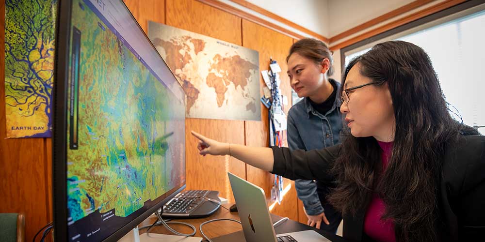
Dr. Yun Yang, an assistant professor at Mississippi State's Forest and Wildlife Research Center (FWRC), is using satellite technology from NASA's Landsat program to address water resource management challenges in the Mississippi Delta. As part of the NASA Acres project, Yang is studying crop water usage and evapotranspiration to help improve groundwater sustainability in this agriculturally important region. The project, which involves over 30 scientists, aims to enhance agricultural strategies and resource efficiency. Unlike commercial enterprises, NASA's commitment to open science ensures that models developed in this project will be publicly available to benefit society. Yang's work was published in prestigious journals and presented globally.